
URBAN HEAT RISK EXPLORER
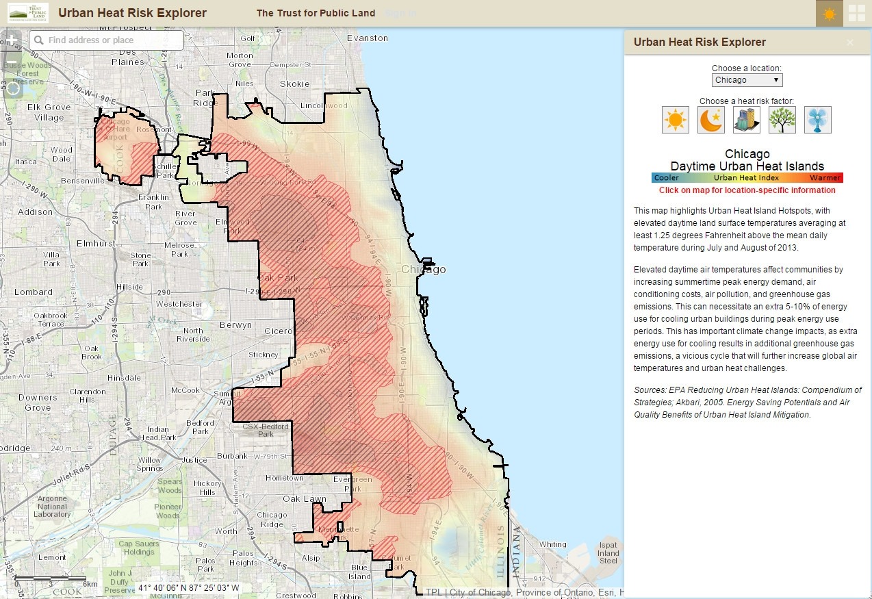
The Urban Heat Risk Explorer was created by The Trust for Public Land to help people better understand heat risks in cities and connect with citizens on how to protect themselves during extreme heat events. The apps provides users with mapping of locations and relevant information on various heat risk factors, such as daytime urban heat islands, nighttime urban heat islands, imperivous surface, urban tree canopy and cooling centers. There are also tips for keeping cool from reliable resources.
The cities currently covered by the apps are Chicago, Chattanooga, Dever, Los Angeles, New York City and Tucson.
Back